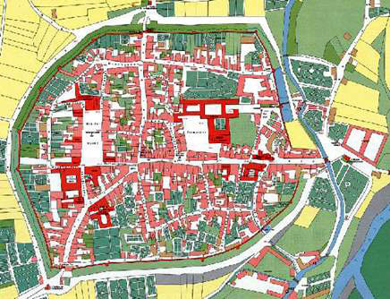
Cadastral maps show the spatial descriptions of land boundaries
that describe shape, size and location of land parcels within the national and
regional positioning systems. Cadastral maps also can be the basis for
dependable property rights system. Cadastral surveyors create railways, canals,
townships, and much more.
No comments:
Post a Comment